 NS Maritime home
Port Dickson Weather and Tide
Modelled Forecast Dashboard, Port Dickson. Sea level: metres above mean sea level (modelled)
00:00:00
Back to SiteDisclaimer
For information only, not for navigation. Official tide tables: JUPEM (opens in a new tab). Official marine forecasts: MetMalaysia (opens in a new tab).
Source: Open-Meteo, modelled forecast for four points off Port Dickson. The sea level and the high and low water are modelled, not a tide table.
The dashboard needs scripts to load the forecast. Please see the official sources: MetMalaysia for marine forecasts and JUPEM for tide tables.
Points Now
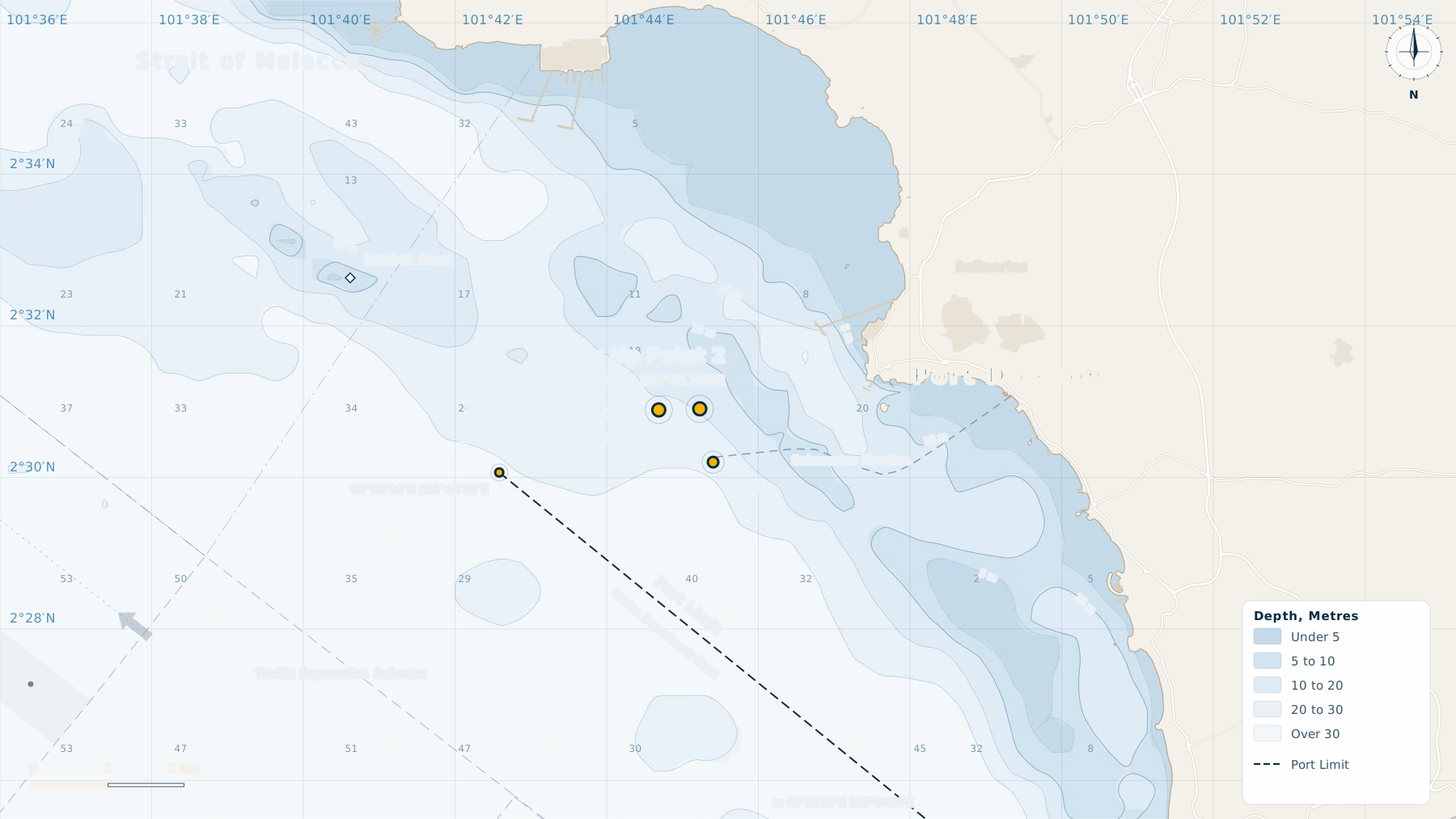
Source: Open-Meteo, modelled forecast. Fetched ….
Wind Now
…
Source: Open-Meteo, modelled forecast. Fetched ….
Modelled High and Low Water (not tide table)
| Water | Time | Height (m) |
|---|
Source: Open-Meteo, modelled sea level, turning points. Fetched ….
Sea Level
Source: Open-Meteo, modelled forecast. Fetched ….
Wind and Gusts
Source: Open-Meteo, modelled forecast. Fetched ….
Sea and Weather
Source: Open-Meteo, modelled forecast. Fetched ….